
I started exploring the wilderness in the era before GPS or satellite and cell phones, when you might as well have fallen off the edge of the earth when you left the road. While I must say that I really like my GPS, I think that a background in more rudimentary navigation has made it easier for me to enjoy and be comfortable in the backcountry. In short, having a broad range of navigation skills helps with everything from planning an outing, to spending less time focused on navigation while you are out. I hope this blog might encourage you to expand your navigation skills!
So, what are some of the options for navigation 'tools' and what are their pros and cons? Working from the cheapest and least complex:
1 - Follow Trails
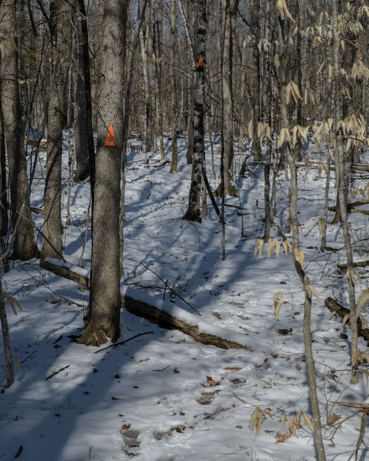
The simplest way to navigate is just to follow a defined trail. The advantages are that it requires relatively little preparation and there is usually information about what to expect along the trail. However, one of the biggest disadvantages of using defined trails to navigate is that it encourages complacency and a feeling that trip planning and a backup navigation method are not required. The reality is that it is relatively easy to become disoriented on a defined trail by taking a wrong branch in the trail, or by getting off trail accidentally. All you have to do is watch the news to see examples of people being rescued who were trying to follow trails!
The other huge disadvantage of this approach, from my perspective as a paddler, is that it can't be used on water!
2 - Use a physical map
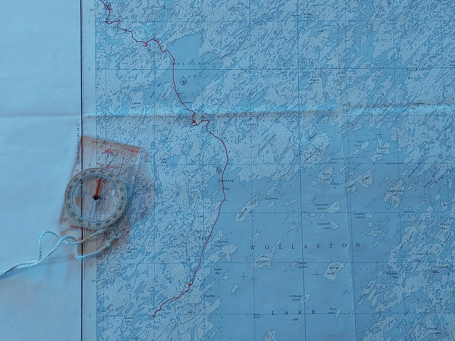
Reading topographic maps is to me the most important navigational skill that you can have, as much for helping you plan and prepare for an outing as for navigation during an outing. If you understand how to interpret a topographic map you can get a very good indication of what an outing will be like and develop a high level mental map of landmarks, handrails, and backstops that you can use while you are out (more on this later). This will allow easier, faster, and more reliable navigation when you are out. This is a skill that takes some time to develop, but there are many guides online to help (see the bottom of this post for a couple of references).
Physical maps are very reliable and it is easy to take extras, so I will always have physical maps and a compass with me whenever I am in an unfamiliar backcountry area.
3 - Use a GPS
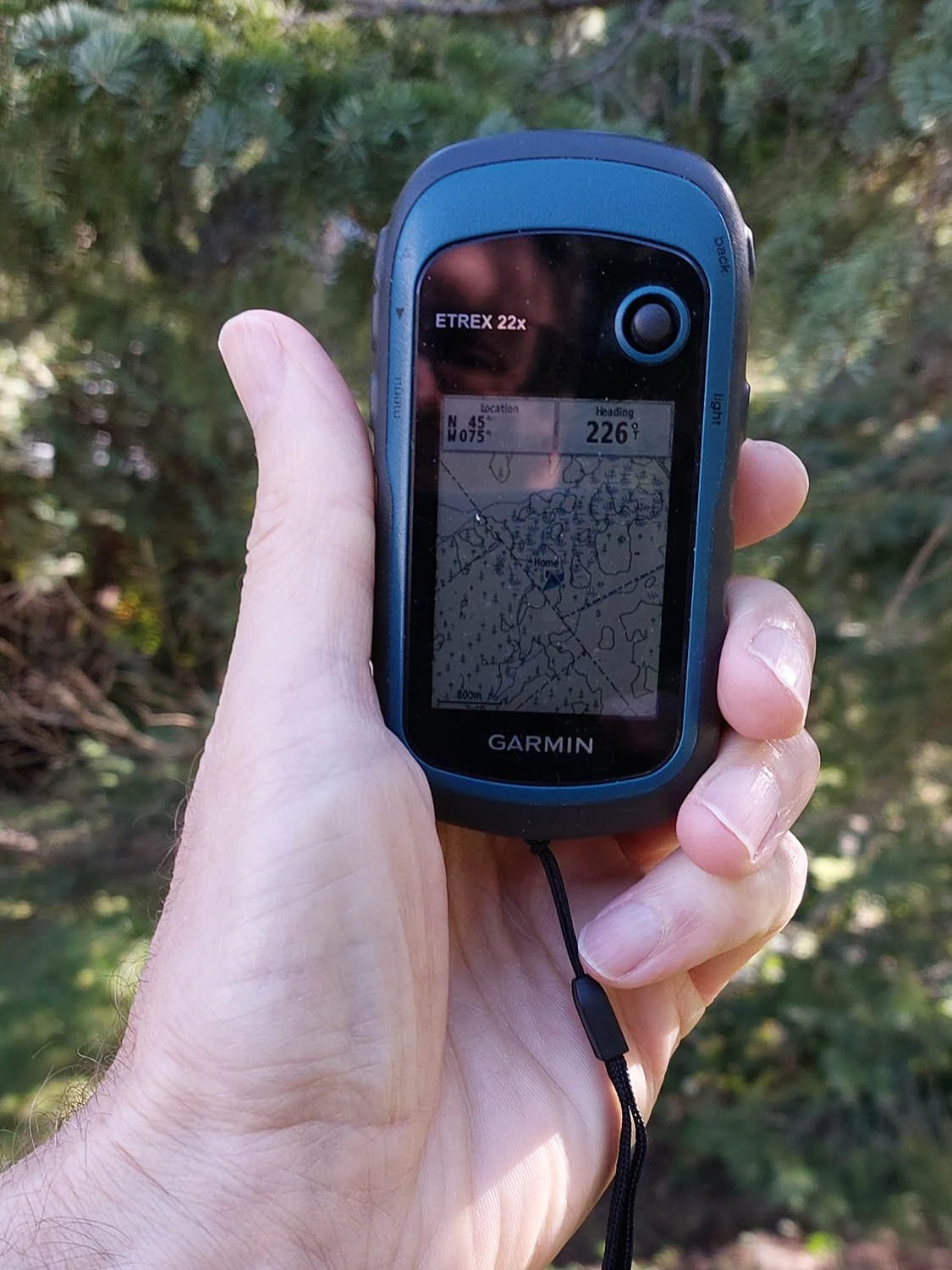
The wide availability of GPS navigation tools has dramatically changed backcountry navigation. The primary value of GPS is that it can instantly tell you exactly where you are. Unfortunately this seems to have made many people complacent about navigation, getting them into trouble if the device dies (dead battery, gets dropped or submerged, etc). If your GPS device is a phone, then you also need to make sure to download the maps for the area so you still have them with you if you lose connectivity (which will happen as you move away from towns).
Despite the vulnerabilities of GPS, I would always take one in wilderness areas. As a minimum you should figure out how to use the GPS in your phone to get your latitude/longitude location (which you can do even without internet connectivity to provide a map). The ability to reorient yourself at will means that you don't have to be quite as focused on your minute to minute navigation as you travel, and the ability to identify your precise location in an emergency could be lifesaving.
However, other than for day trips, I do not use a GPS for primary navigation in order to avoid risking dead batteries if I really need it (I also find constantly checking my GPS as I travel rather annoying).
Finally, a few navigation tips that can minimize both the time spent both navigating during outings, and spent getting reoriented when you find yourself 'misplaced'!
Before an outing to an unfamiliar area, I start by looking at maps to identify things I can use while navigating:
landmarks (features that should be visible and easy to identify, preferably from a distance), for example hills, river confluences, trail junctions, islands, or man-made structures.
handrails (features running in your direction of travel, that you can follow), for example streams, ridges, lake shore, or man-made roads or power lines.
backstops (features perpendicular to your direction of travel that you will hit if you miss a turn), the same sorts of features as handrails except perpendicular to your travel instead of parallel to it. Basically things that would be hard to accidentally cross without noticing.
off ramps (any potential ways to evacuate in an emergency), for example roads or buildings that look to be accessible from the route you intend to take.
During the outing I try to make use of navigation shortcuts to minimize the time spent stopped to check a compass or staring at a GPS, and maximize the time enjoying the scenery!
if there is a good landmark in roughly the direction of travel, head left of, right of, or toward it as appropriate, and proceed without worrying about the exact route if you lose the trail or are on water.
if there is a good handrail, follow that without worrying about the exact route.
if there is a good backstop, head in the desired direction without worrying about the exact route.
Whenever I start for the day, reach a landmark, the end of a handrail, or a backstop, I take a quick look at the map to remind me of the next navigational shortcut I can use. In some cases this may be a few hundred meters away, in others it might be several kilometers. I find that I can usually continue to this next point without having to drag out the map or GPS again.
if I need to hold a direction without a landmark or handrail, then I try to use the sun or wind as a guide. This avoids having to spend as much time checking your compass or GPS. Note that the sun is directly to the south at noon all year long (standard time, i.e. 1pm daylight time) and roughly east at 6pm, south east at 9am, south west at 3pm, and west at 6pm (again standard time, so 7am / 10am, 4pm, and 7pm daylight time). Note that these directions change slightly during the year but are good enough for rough navigation. When I am using the sun or wind as a guide I will stop periodically to confirm with compass or GPS that things have not gone completely off the rails, but generally this works quite well and makes the travel much faster and more enjoyable.
in the worst case of no landmarks, handrails, backstops, or sun/wind, it's back to the map/compass or GPS for basic navigation.
If I do loose track of my location, the easiest solution by far to reorient is to use the GPS. If GPS was not available, I would check the map for approximately where I should be based on my last known location, then look for a direction I could head to hit a large backstop (for example if I was hiking west but knew there was a lake not too far to the north, then I would turn north until I hit the lake and try to figure out where along the shore I was).
the bottom line is you are not lost just because you don’t know where you are, you are only lost if you don’t know how you might figure out where you are!
References: there is lots of information on how to use navigational tools on the internet, so I won’t add to the pile in this blog. A couple of reasonable videos to get you started are:
a video on understanding topographic maps
a simple video explaining navigational shortcuts (with somewhat different UK terminology)